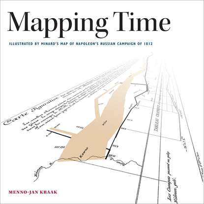
Figure 2-16. Central Russia during the War of 1812. The map shows the important place names and physical features that played a role in Napoleon’s invasion
In contrast, figure 2-17 introduces a sense of relative time by inscribing arrows alongside the dotted lines that pass along a supporting topography of river and place names (which, like Minard’s map, are spelled in Dutch) in order to illustrate the directional path of Napoleon’s Grand Army. This communicates notions of both direction and order (that is, a start and an end). The map lacks the chronology that absolute dates provide. Still, it constitutes a basic flow line map.
Figure 2-17. Route followed by Napoleon according to a Dutch school atlas.
Figures 2-18 and 2-19, like the previous map, use lines to indicate Napoleon’s path to Moskva. Both maps use different sets of symbology to indicate the French army’s advance and retreat, although both emphasize the advance over the retreat based on choices of line color and line symbology. The map from the German school atlas in figure 2-18 displays dates next to important sites in the army’s campaign, in order to plot its march through Russia. This makes it possible, for example, to derive information about how long Napoleon stayed in Moskva. The inset in figure 2-19, providing a detail from a European overview map from the same atlas, shows the areas affected by the campaign. Looking at the two maps side by side reveals the similarity of their topographic backgrounds. Rivers, for example, possess the same detail. It seems likely that both publishers were aware of each other’s work.
Конец ознакомительного фрагмента.
Текст предоставлен ООО «ЛитРес».
Прочитайте эту книгу целиком, купив полную легальную версию на ЛитРес.
Безопасно оплатить книгу можно банковской картой Visa, MasterCard, Maestro, со счета мобильного телефона, с платежного терминала, в салоне МТС или Связной, через PayPal, WebMoney, Яндекс.Деньги, QIWI Кошелек, бонусными картами или другим удобным Вам способом.