
Bali was probably settled some 3 to 4 thousand years ago by people who were farmers and
herders, and who brought with them a bronze- and possibly iron-age technology. In the course of time, the human population has had a considerable impact on the natural history of the island, most notably in terms of deforestation and species extinction.
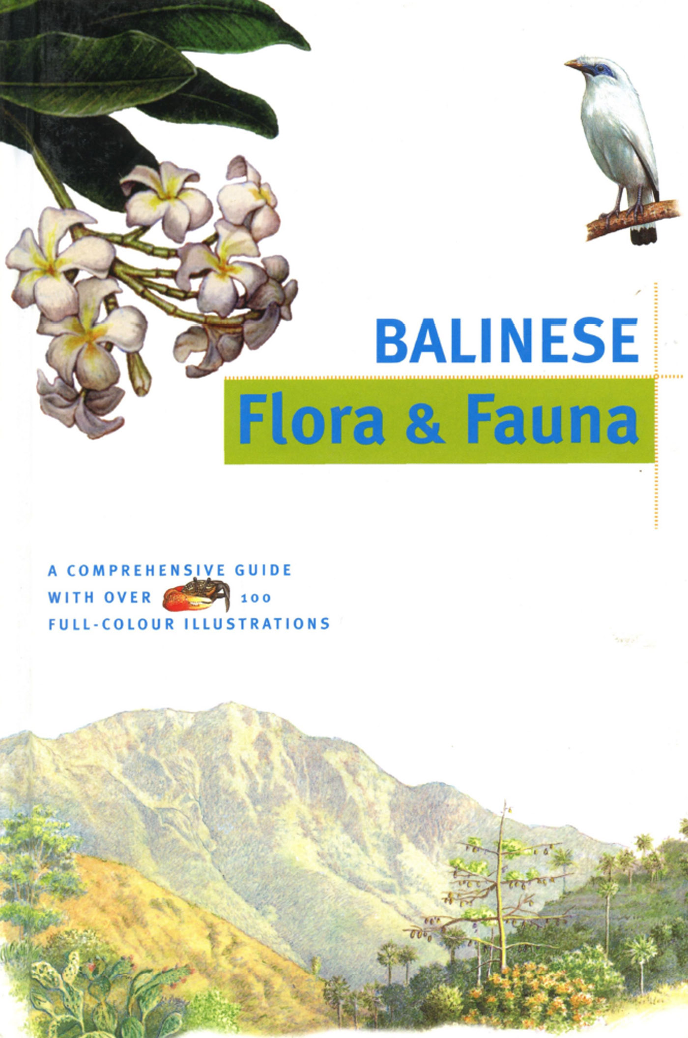
The most populated region has for centuries been the coastal plains and fertile valleys to the south of the central mountain range. It is here that the work of man is most evident in the form of the remarkable terraced rice fields which have been sculpted by hand from the natural contours of the land.
Rainfall and Climate Patterns
Climate plays a critical role in habitat formation and the dry southeast monsoon winds from Australia, which blow during the middle of the year, have an important influence on the type of vegetation found in the northeastern part of the island where lowland forest gives way to savanna grasslands.
Rainfall is also a crucial factor affecting vegetation types and growth patterns. On Bali, there are distinct seasonal variations, the wettest months of the year being between October and March.

El Nino
The so-called 'El Nino effect', which has received much attention in recent years, is caused by a huge pool of warm water, some 200 metres deep, in the Pacific Ocean, which oscillates in an irregular manner between Indonesia and the eastern Pacific. The warm phase of El Nino results in an extended, drier-than-normal dry season, with associated droughts, reduced rice harvests and forest fires, the worst example of this in recent years being the dry season of 1997.


Volcanoes, Lakes and Caldera
The volcanic peaks of Bali are identified in myth and ritual as the home of the gods and like the Hindu deity Siwa, they are both the givers of life and the agents of death and destruction. On the one hand, their periodic eruption releases streams of molten lava and super-heated mudflows of cataclysmic proportions, while on the other, the erosion of balsatic lava deposits and their sedimentary redistribution in the valleys and plains is ultimately responsible for the rich soil that makes the island of Bali so naturally fecund.
The eastern end of Bali is dominated by the impressive symmetry of Gunung Agung (3,104 metres) whose summit is often ringed with clouds. In March 1963, Gunung Agung violently burst into life, showering its slopes with ash and debris which precipitated mudflows that killed thousands, left many more homeless, and laid waste to the surrounding countryside for miles around. This was interpreted by some as evidence of divine displeasure at inappropriate ritual observances being celebrated at the temple of Besakih at the very moment of the eruption—Pura Besakih is situated on the slopes of Gunung Agung and is identified as the 'mother' temple for all Bali.
Caldera Formation
Caldera are the result of a huge volcanic eruption, typically of an existing volcano which literally 'blows its top', pushing up an outer ring of mountains with a new cone at the centre. Often a lake will develop in the basin created by the outer ring of mountains.

Lake Batur
Volcanic activity has been the principal cause of lake formation in Bali. Some are the craters of extinct volcanoes but Lake Batur, which is the largest, occupies a caldera—a volcano whose top has been blown off in a massive explosion, creating a plain, or in this case a lake, surrounded by a ring of mountains with a new cone at its centre.
Lake Batur lies at an altitude of 1,034 metres and covers some 16 square kilometres, though the areas and depths of Bali's lakes vary with the seasons. At its deepest, Batur goes down to 88 metres and holds an estimated 815 million cubic metres of water. Ultimately though, the destiny of Batur, like all crater lakes, is to fill up with sediment though this process is likely to take thousands of years.

Batur Flora and Fauna
The arid slopes of Gunung Batur (1,717 metres), which rises at the centre of the Batur caldera, are hardened streams of balsatic lava and it will take several centuries for such deposits to be sufficiently weathered to produce soils that will support a closed forest. Even so, from the beginning, there are species of plant and animal which are quick to exploit the virgin terrain of a barely-cooled lava flow.
The most recent eruptions of Batur were in 1965 and 1974, but already mosses, grasses and ferns, typically the earliest colonisers of ash slopes, have long been in evidence. Their seeds (or spores in the case of mosses and ferns) are carried by the wind and settle in crevices in the jagged folds of the lava fields at the base of Gunung Batur where a little collected dirt will sustain them.
Lizards and skinks are among the first vertebrates to colonise the scorched landscape and may be seen warming themselves in the sun on exposed surfaces. As poikilotherms, or cold-blooded creatures, they like to take advantage of the sun's rays to warm their blood temperature which then enables them to move more rapidly in the pursuit of their prey and aids their digestion.
Freshwater Fish
There are no native fish species in Bali above an altitude of 500 metres, probably due to the low temperatures experienced at such heights. However, the non-indigenous giant gourami (Osphronemus goramy) has been introduced to Lake Batur and makes for good eating if dining in the vicinity of Kintamani.
Montane Plants and Animals
As one moves up from the plains and foothills to the central highlands, the landscape and vegetation changes noticeably. Heat is rapidly lost after sunset at high altitudes so that in the mountains, temperature ranges between daytime and night-time may differ by as much as 20 degrees centigrade. At the same time, the relative humidity of the air increases as the temperature falls, and at a certain point, condensation will occur causing drops of dew, and even clouds, to form. Much more rain is also likely to fall on the windward slopes of mountains, particularly if the prevailing air currents have passed over seas as is the case for Bali.
Montane Forest Morphology
The vegetation below 1,200 metres is very similar to that of lowland forests, but at higher altitudes, trees become increasingly stunted in height and epiphytes, which include many orchid species, become more common. At the highest altitudes, the trees look gnarled and stunted and there is an abundance of moss and lichens growing both on the ground and on the vegetation itself.
Eventually, these montane forests give way to a sub-alpine vegetation with even smaller trees and epiphytic lichens, but very few orchid species. Some alpine plant species are equipped with woolly hairs on their leaves which are thought to protect them against high temperatures during the day, low temperatures at night, and the intense ultraviolet radiation that is the result of the thinner atmosphere at high altitudes.
Tree ferns
Tree ferns, mainly Cyathea spp., are a common feature of montane forests, particularly lower montane forest. The delicate architectonics