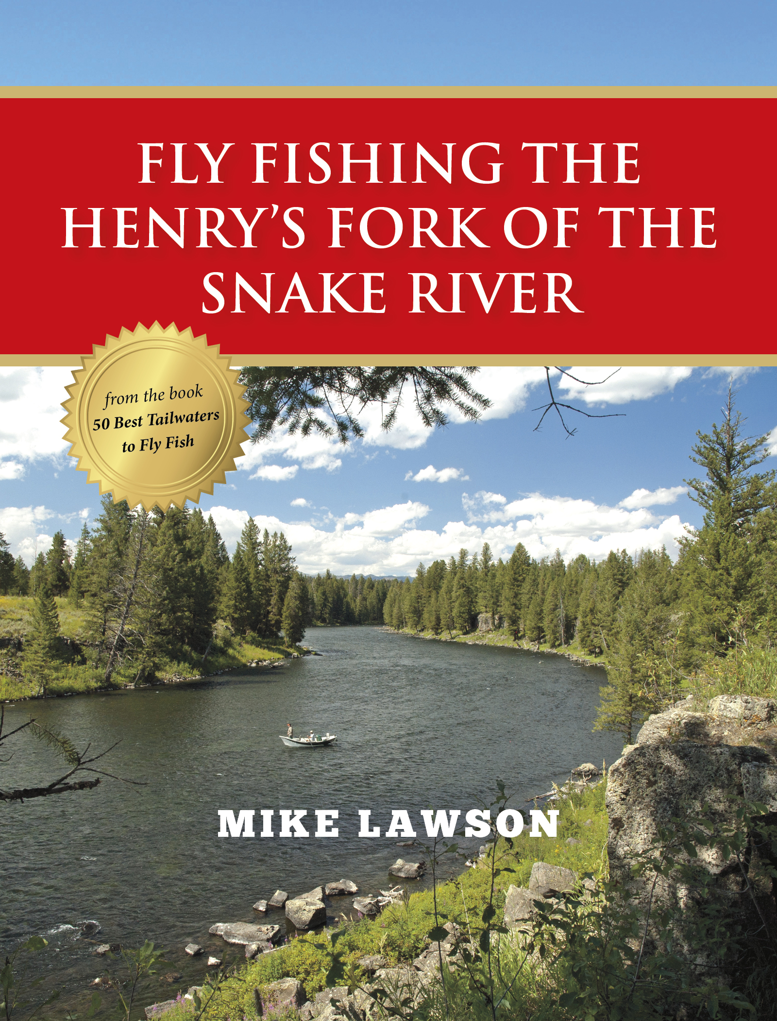
The Henry’s Fork of the Snake (Southeast Idaho)
The Henry’s Fork of the Snake is not a true tailwater. Rather, it is a large spring creek with two dams. The Island Park Dam, located at the top of the Box Canyon section, creates the Island Park Reservoir. There is also a small hydroelectric facility at Island Park. The Ashton Dam, about 45 miles downriver, is strictly for hydropower.
Above Island Park Reservoir, the Henry’s Fork is a true spring creek. The river changes dramatically below the dam. While many dams create trout fisheries where previously trout could not survive, the Island Park Reservoir creates more diversity in temperature and water chemistry than the cold spring creek waters above the reservoir. Water temperature is one of the most limiting factors in diversity of aquatic life. The river hosts a great population of midges, caddisflies, mayflies, stoneflies, and many other invertebrates. It is unlikely there’s another trout stream in the world with more variety in the aquatic community than the Henry’s Fork.
Below the 3½-mile section known as the Box Canyon, the river opens up and meanders quietly through the Harriman State Park, formerly known as the Railroad Ranch. This is where anglers come from all over the world to test their skills on some of
the most selective rainbow trout on the planet. It’s a place where you can find out what you’re made of, like a rookie stepping into the batter’s box in Yankee Stadium to find out if he can really hit a Major League fastball.
Below the Harriman Park, the river cascades through a deep canyon, flowing through the sidewall of the Island Park Caldera and dropping almost 1,000 feet in elevation in fewer than 20 miles. There are several serious waterfalls in this section, including Upper Mesa Falls, with a 113-foot drop. Below the canyon, the river joins up with Warm River, another spring creek. From there it flows another 8 miles into the Ashton Reservoir.
Конец ознакомительного фрагмента.
Текст предоставлен ООО «ЛитРес».
Прочитайте эту книгу целиком, купив полную легальную версию на ЛитРес.
Безопасно оплатить книгу можно банковской картой Visa, MasterCard, Maestro, со счета мобильного телефона, с платежного терминала, в салоне МТС или Связной, через PayPal, WebMoney, Яндекс.Деньги, QIWI Кошелек, бонусными картами или другим удобным Вам способом.